Sidebar
Table of Contents
c:geo Basics
This page describes some basics about Geocaching and about how to use c:geo to find Geocaches.
What is Geocaching?
Explaining all details of Geocaching would be a little too much here. However there are some facts you need to know to start Geocaching with c:geo:
You have to learn about the different cache types, D/T-ratings, etc.
You might not be successful finding a cache by just selecting a random one in c:geo and navigating to it. There is a lot more which you need to know in order to pick a cache which is suitable for you.
Most of the geocaching platforms supported by c:geo offer detailed tutorials about how Geocaching works. We strongly suggest, that you read through these tutorials to learn what you need to know to find your first cache and how to log it.
Especially you should be aware of the different types of caches (You will typically not find a mystery cache at the given coordinates) and the T-rating (a rating of 5 means, that you need to climb/swim/dive to get the cache).
Like all outdoor activities, geocaching can be dangerous. Geocaching is done at your own risk, neither c:geo nor any geocaching service provider will take responsibility for your activities. Just pay attention to what you are doing, like you also do for other outdoor activities.
Finding your first cache with c:geo
From c:geo main menu use the Live Map  or the
 Nearby  menus of c:geo to see which caches are around you.
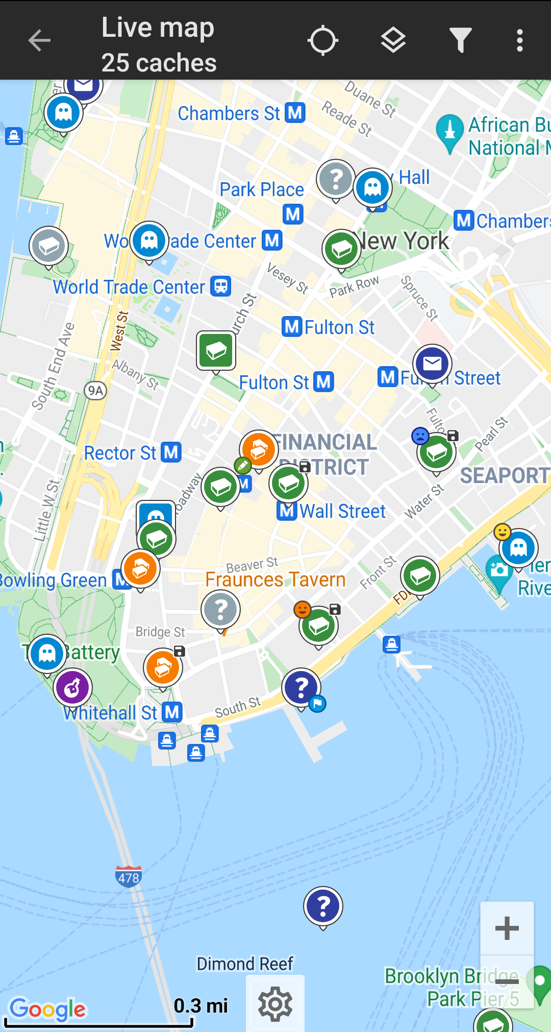
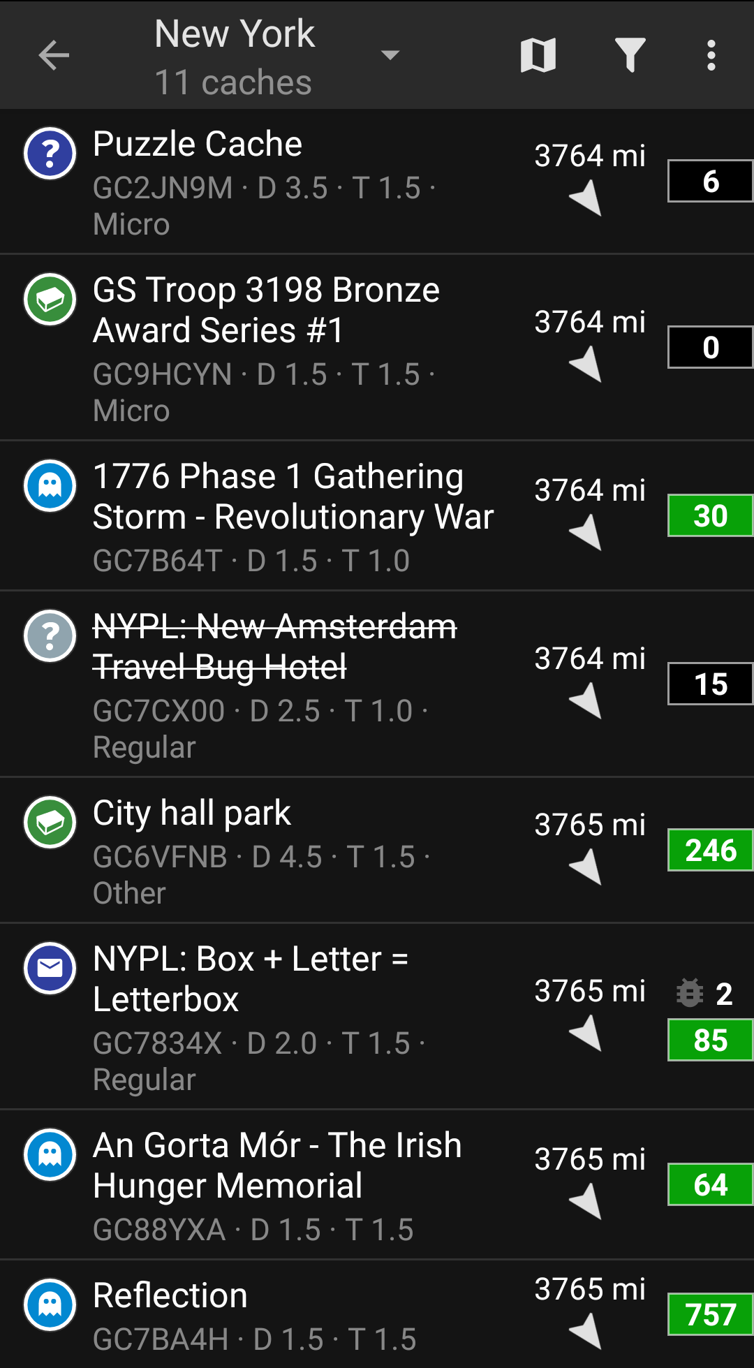
After you managed to see caches on the map or in the nearby list, pick a cache you would like to find (a traditional cache with a low D/T rating will be a good starting point) and open its details.
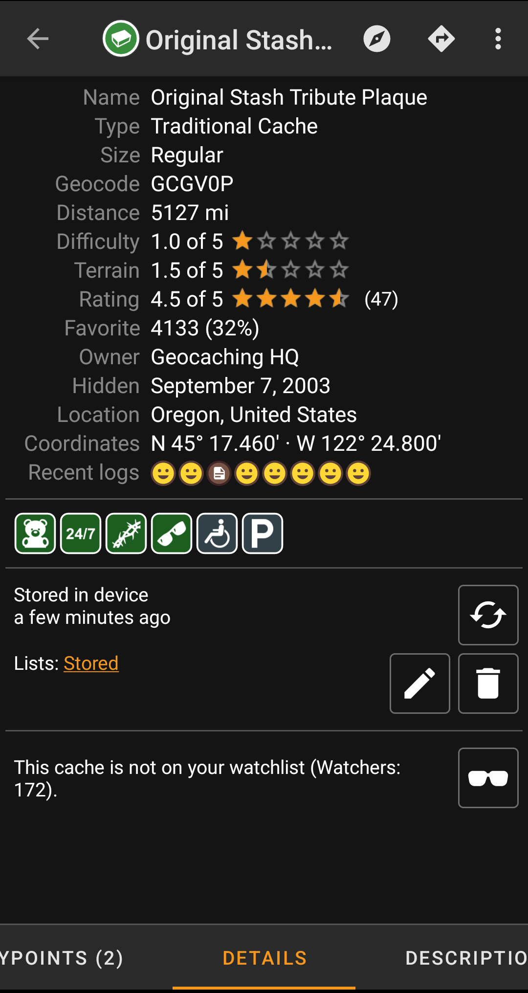
Once you opened a cache listing you can swipe left and right to access more information about the cache (e.g. cache description, additional waypoints, log history,etc.). Read the listing text and pay attention to the D/T-ratings and attributes to learn more about how to find and log this cache.
Once again:
You should make yourself familiar with the different types, terrain ratings, attributes, etc. before starting out to find a cache!
If you finally selected a cache and are good to go, press the Navigate icon  in the title bar of the cache details. You will have several options depending on your needs. Here is a brief description of the most important navigation methods:
- Compass:
It will constantly show you distance and direction to the cache.

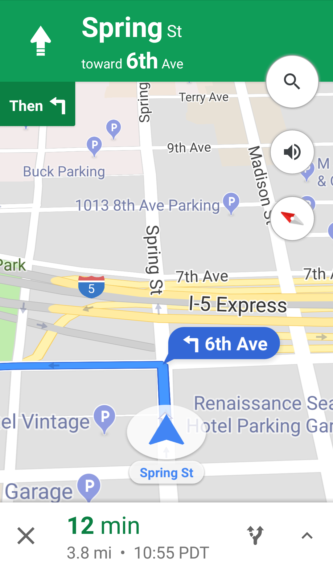
- Navigation (Drive, Walk, Cycle):
This will start turn-by-turn navigation using Google Maps
- Radar (optional):
If you installed an app supporting radar functions this will open radar screen. It is similar to the compass, but the working mode is a little different. You will typically see the cache coordinates as a marker on the radar. If the marker reaches the center, you reached the cache coordinates.
This is only a brief introduction of the functionalities in c:geo. To learn more about c:geo functions and menus, you should continue reading the c:geo User Guide.
