Sidebar
This is an old revision of the document!
Table of Contents
Using BRouter with c:geo
BRouter is a small app available for Android, which provides navigated routes, which are calculated offline, between two coordinates based on OpenStreetMap data.
If BRouter is installed and configured on your device, c:geo can use it to replace the normal straight line shown on map between your position and the navigation target (i.e. a cache or a waypoint) by a routed line as you can see in the example comparison below.
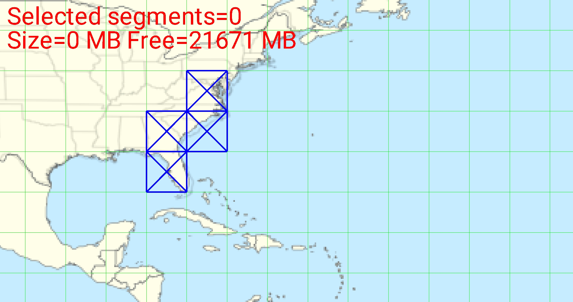
| Navigation without BRouter | Navigation with BRouter |
|---|---|
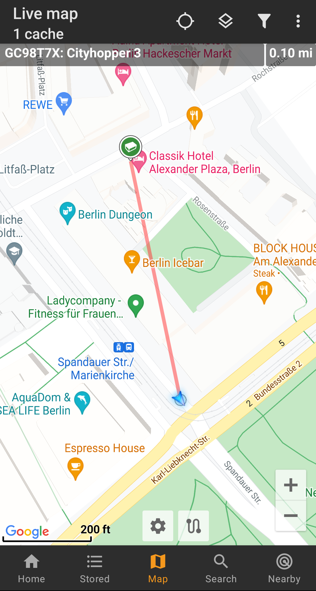 |  |
The routing can be configured to be suitable for walking, biking or car according to your needs and will help you finding your way to the destination. Additionally you can also use this routing to create individual routes involving several waypoints sequentially to plan your caching trip.
Installing and configuring BRouter
You can download and install BRouter either from Google Play or directly from their website.
After Brouter is installed you need to download routing information for the desired geographical area for BRouter to be able to offline calculate routes. Without this downloaded routing information BRouter will not work (no online routing supported).
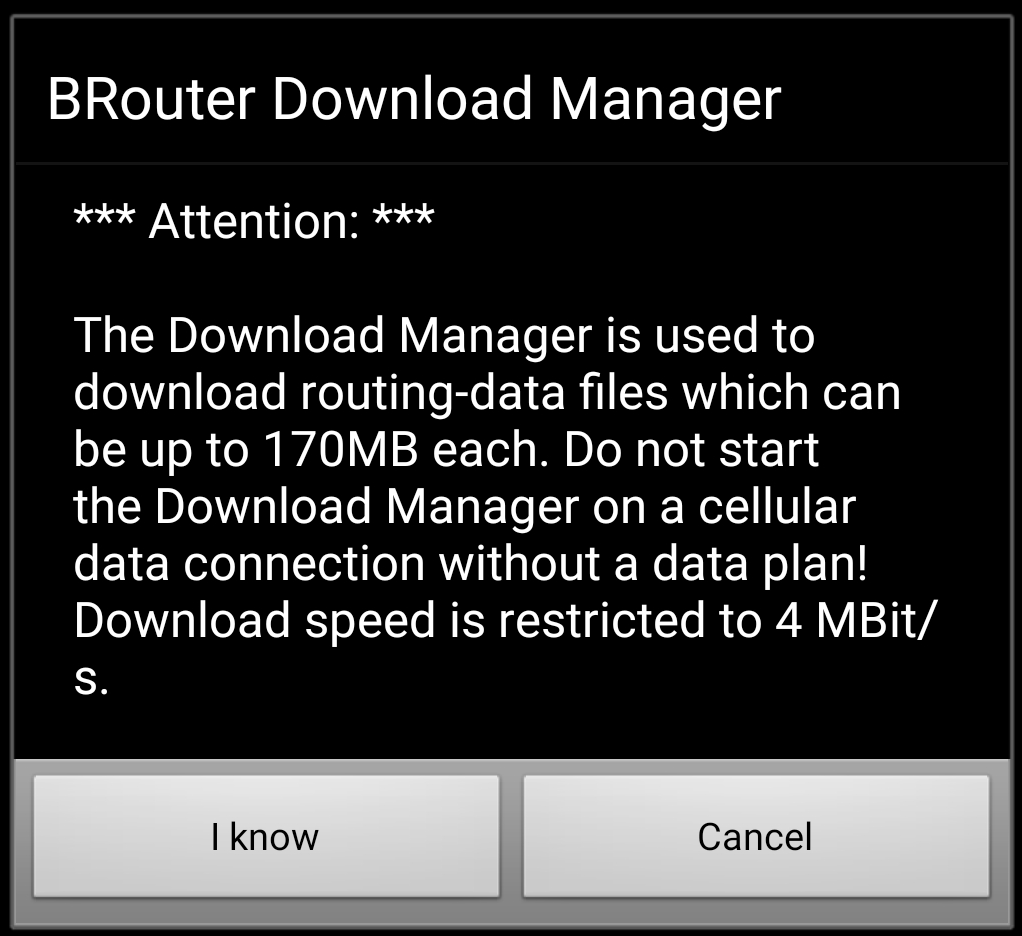
In order to download the needed routing information, start the BRouter app and select Download Manager as shown below. The Brouter App function is not needed for c:geo.

BRouter will inform you, that it needs to download a larger amount of data (depending on the size of the geographical area for which you want to download routing information). Make sure you do not use a metered network or have enough quota before you continue by selecting I know.
Brouter will now show a world map and you have to touch on the area, for which you want to download routing information, to zoom in and see the grid of the available routing information tiles.
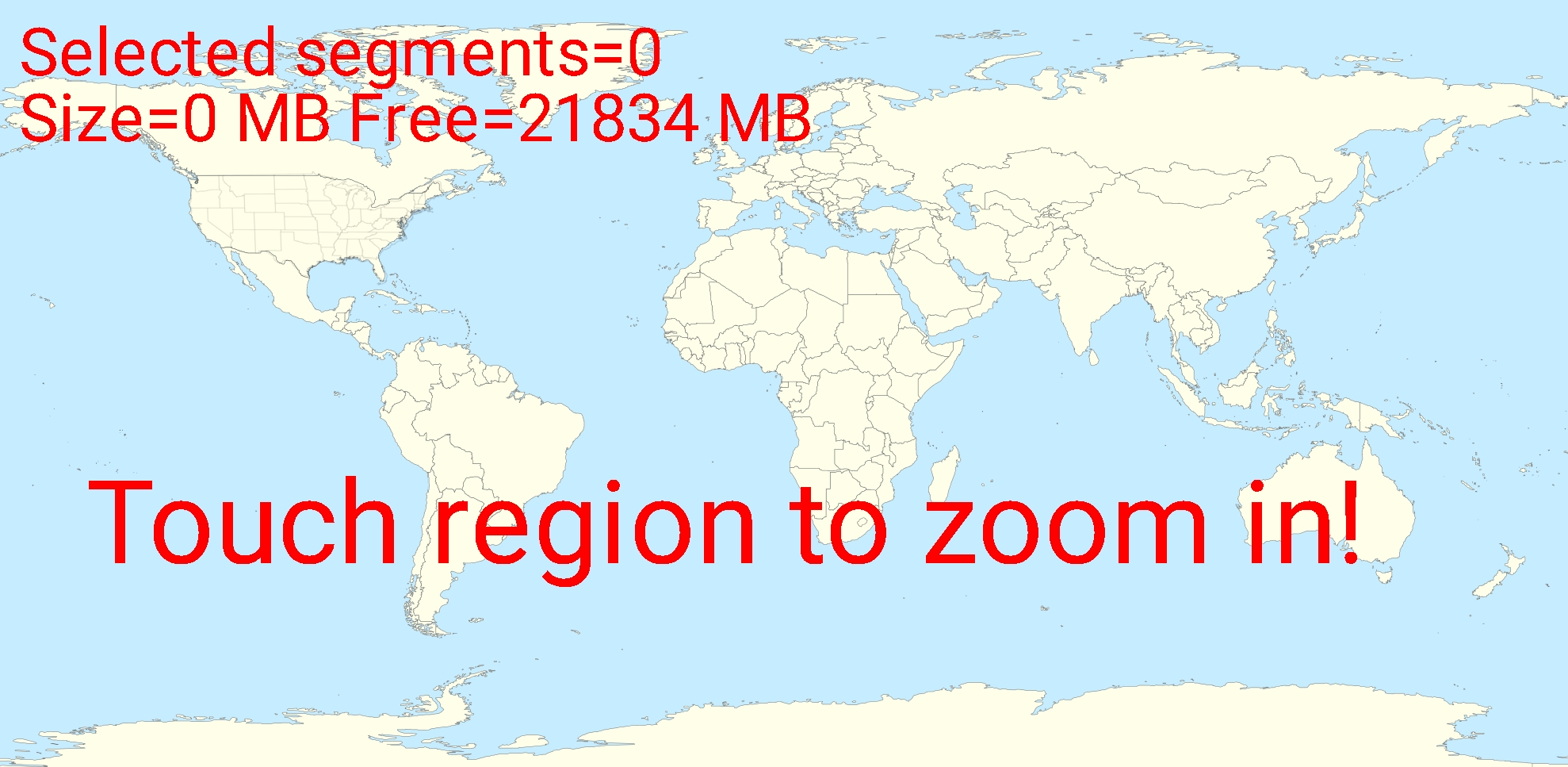
Once you zoomed in you can select the tiles (will be marked in green) of the desired geographical area(s) and select Start Download to trigger the download of routing information for this area.

The download speed is limited by BRouter to 4 Mbit/s. So depending on the amount of routing tiles you selected the download will last a bit. Make sure to keep BRouter open in foreground while the download is in progress.
After successful download the tile map will now show the downloaded tiles in blue.
You are now good to go, but remember, that you need to download new tiles here if you want to use the navigation feature in other geographical areas as those you just downloaded. You might also want to update the existing routing info from time to time be downloading the needed tiles again with this download manager.
Usage in c:geo
Once you installed and configured BRouter as described above, c:geo will use it automatically. There is no need for any configuration in c:geo, except that you might want to change the used routing mode (Bike, Walk, Car) according to your needs. You can do this in the Routing sub menu of your map menu.
BRouter will be used to calculate routes for mainly two functions as described below.
Direction line
If you invoke navigation to a cache/waypoint using the map, the direction line between your position and the cache/waypoint will now use a routed line instead of a straight line.
The distance information on the top right will show the routed distance additionally to the straight line distance.
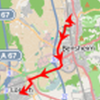
Individual route
To make use of the individual route feature you need to enable the long lick function on the map in your map behavior settings.
Then you can simply long click sequentially on different caches/waypoints on your map to connect them with a routed line one after another. This function e.g. allows planning of your caching trip as shown in the example below.
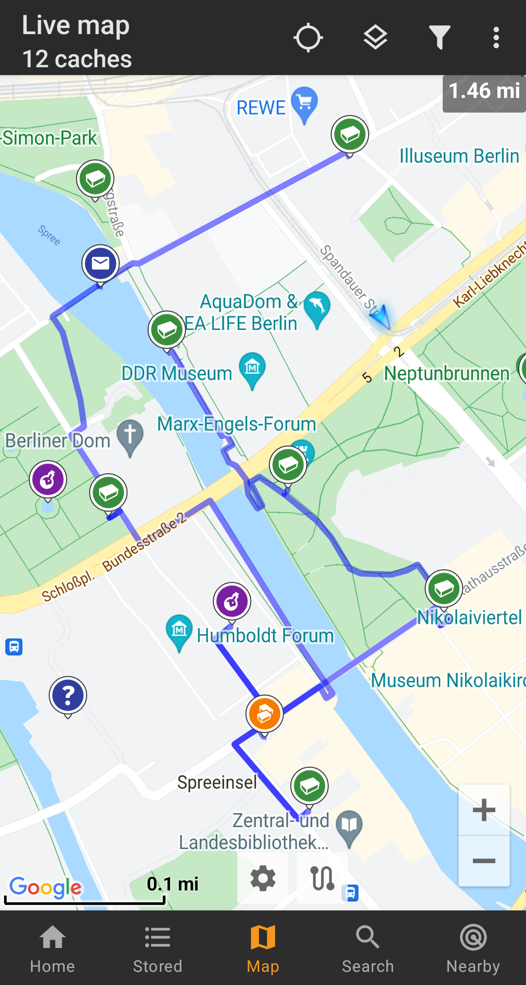
To remove one cache/waypoint from your route simply long click it again. Furthermore you can use the sub menu Individual route on your map menu to sort, export, import or clear your individual route.
Customization
To minimize potential delays in usage of c:geo BRouter will calculate routes up to a max. length of 10km by default. You can customize this limit between 0 an 999km in the c:geo map settings. Furthermore this setting menu can also be used to customize the parameters (thickness, color and opaqueness) of the different lines shown on the map.
